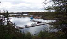
- Municipalité Côte-Nord-du-Golfe-du-Saint-Laurent
- Chapelle de l'île Providence | Chapel
- Kegaska
- La Romaine
- Chevery
- Harrington Harbour
- Tête-à-la-Baleine
- Kegaska Beach
- Brion Hiking Trail
- Collard Island Trail
- Bob Nunez Misty River Trail
- Chevery Beach
- Chevery Green Space
- Margaret's Cave Hiking Trail
- Centre d'interprétation de La Romaine
Contact
29, Chemin d'Aylmer Sound, Chevery,
Côte-Nord-du-Golfe-du-Saint-Laurent
(Quebec)
G0G1G0
Phone: 418 787-2244
Contact us by email
Visit our website
Périodes d’activités :
Starting and ending dates of operation :
Open year round
Montréal: 1173 km
Québec: 944 km
Outdoors
Tourisme Côte-Nord promotes sites that allow you to do outdoor activities. Users are responsible for their own safety and for anyone else they are responsible for. Outdoor activities come with risks and it's the user's responsibility to make sure they respect what their physical limit is, as well as any regulations on site.
Description
Population 240
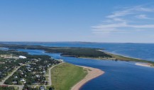
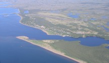
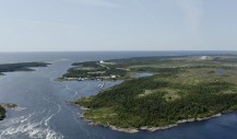
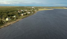
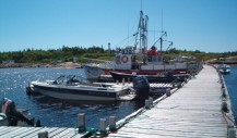
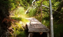
Named in honour of Captain Jean-Baptiste Chevery, the village is built on a sandy tip of land accessible by boat from Harrington Harbour, by plane from Chevery Airport, and by the Route Blanche (White Trail) in winter. It's the administrative centre for the municipality of Côte-Nord-du-Golfe-du-Saint-Laurent. There is trout fishing on the Nétagamiou and La Croix rivers near the village, and moose can be hunted in season. On the Nétagamiou river, 500 meters from the village, a waterfall offers visitors a relaxing and peaceful setting. A 4 km hiking trail leads along the river from the marina.
